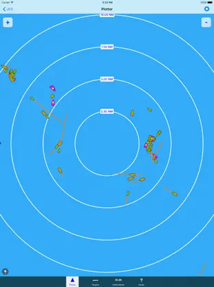
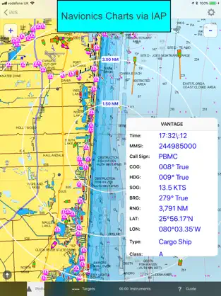
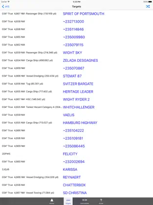
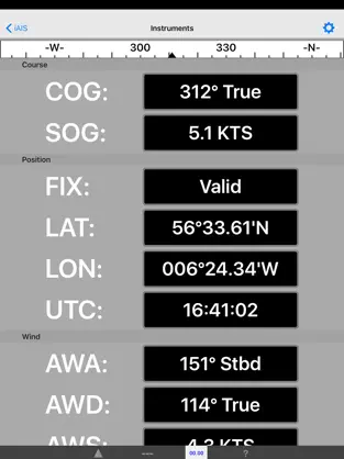
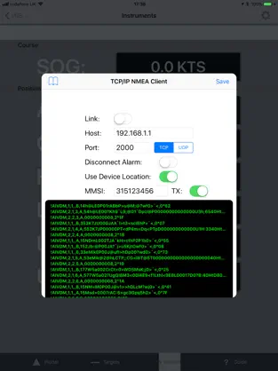
iAIS is a simple AIS target plotter and NMEA data instrument designed for use with the DigitalYacht iAIS WiFi receiver. AIS targets are plotted relative to iPhone/iPod/iPad position. Tapping on an AIS target displays details (i.e. speed, course, destination, type, length, etc.). GPS and Wind data can also be viewed on the Instrument panel.
You can also display the AIS targets over your Navionics charts. With a one off In App purchase, iAIS can use all your existing Navionics charts with no additional charges for the charts.
You can share your boat's live position, speed and course and be visible on other free internet based AIS apps and web sites like BoatWatch and MarineTraffic if you have a valid MMSI number for your boat.
In the US you can obtain an MMSI number for your boat by visiting http://www.boatus.com/mmsi.
In the UK visit https://www.ofcom.org.uk/manage-your-licence or email us for an internet only MMSI number.
Please note that continued use of GPS running in the background can dramatically decrease battery life.
NOT FOR NAVIGATION
iAIS should only be used for basic navigation reference and should not be solely relied upon to determine precise locations, proximity, distance, or direction.
Advantages and disadvantages of iAIS
. At the same time, it adds that it does not consume many resources, so it can be installed in almost any
Iphone . That is why more than
998 people have downloaded this software on Downloads.com As a great positive point, it must be said that its design is very clean, which helps to use it easily. El comentario de Manuela Vidal Please turn the "use link" to on, tried to go to app support, dead end there, bad page and no targets show
Official application of iAIS... iAIS's Official App ...