Avia Maps Aeronautical Charts
Characteristics of Avia Maps Aeronautical Charts
- OS: Android
- Category: Maps and navigation
- Downloads: 1.008
- Type: FREE
- Developer: Remy Webservices UG
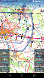
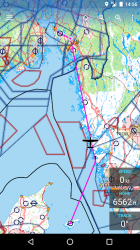
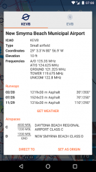
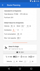
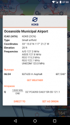
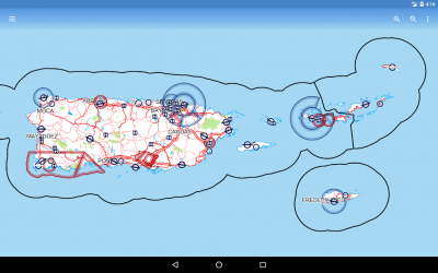
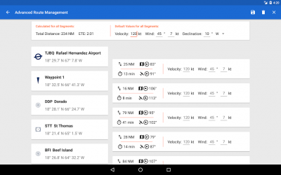
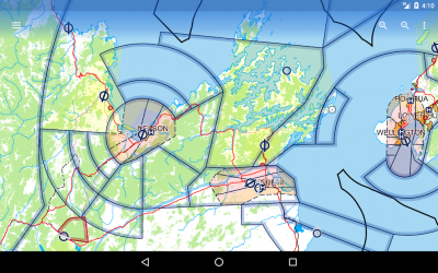
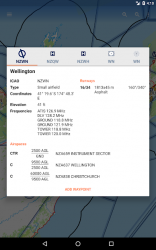
Screenshots of Avia Maps Aeronautical Charts


This site uses third-party cookies to obtain statistical data on the navigation of our users, for segmented and personalized advertising and to improve the content offered by the site. If you accept or continue browsing, we consider that you agree to its use. More info


